

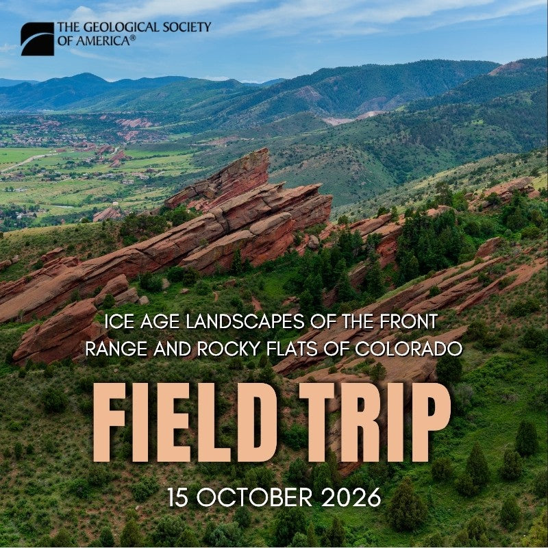
Full Title: FT26CN418. The Central City Gravel, Nussbaum Gravel, and Rocky Flats Alluvium: Stemming Over 100 Years of Research and Establishing 1.5 Million Years of Southern Rocky Mountain-Laurentide Geomorphology.
Price: US$85 for non-members; US$75 for professional members; US$45 for student members; US$60 for early career professional members
Leader(s): Cal Ruleman; Marith Reheis; Adam Hudson; William Odom; Ralph Shroba; Brent Goehring; Marc Caffee
Endorser(s): GSA Quaternary Geology and Geomorphology Division, GSA Geochronology Division
Industry Track(s): Economic Geology, Hydrogeology and Environmental Geology
CEUs: 0.95
Date(s): Thu., 15 Oct. 2026
Departing Location: Colorado Convention Center, Denver, Colorado, USA
Start Time: 8 a.m.
End Time: 5 p.m.
Description: Join us for a day trip exploring 1.5 million years of glacial and glaciofluvial history in Colorado’s Front Range, including the Central Colorado Icefield in relation to the coeval maximum extent of the Laurentide Ice Sheet (~1.3 Ma), and the formation of the South Platte, Missouri, and Arkansas Rivers.
We will begin by visiting the oldest known preserved glacial deposit in the Front Range, the ~1.4 Ma Central City Gravel, and discuss how early 20th-century geologists, including Kirk Bryan, Wallace Atwood, and Glenn Scott, interpreted these regionally dispersed deposits.
We will also examine the relationship between the Central City Gravel and Rocky Flats Alluvium deposition and abandonment from ~1.4 Ma to 400 ka. Additional stops will include middle Pleistocene deposits along Clear Creek that record post–Rocky Flats incision along Clear Creek and the South Platte River between ~250 and 70 ka. We will also explore geomorphic relationships between early Pleistocene glacial deposits and Last Glacial Maximum (~22 ka) features, as interpreted through rock glacier modeling and paleoclimate temperature reconstructions.
Further discussion will address the genesis and distribution of periglacial features and the extent of permafrost across the Denver–Front Range–Great Plains region, including nivation at Mount Morrison and periglacial erosion at Red Rocks Amphitheatre. This field trip integrates contemporary geochronology and geomorphic modeling with classic geologic mapping and observation, while also highlighting unresolved geomorphic questions identified in research over the past two decades.
Considerations: Participants should be prepared for variable weather and light physical exertion at approximately 5,200 ft above sea level. Travel time between stops will be limited to less than 1 hour. Expect short walks of up to 30 minutes each on trails and potentially uneven terrain within a metropolitan setting.
Restroom access will be readily available, with scheduled stops in the mid-morning and mid-afternoon. Catered box lunches will be provided, along with mid-morning and afternoon snack breaks. Bottled water will be available for participants (one bottle per person), along with 5–10 gallon refill containers.
Cost includes ground transportation, lunch, snacks, and water.
By purchasing this item, you are buying a seat for an in-person geological field trip. This field trip is in conjunction with GSA Connects 2026. Learn more here.
For member type discounts please contact fieldtrip@geosociety.org.
Students and Early Career Professionals can apply for funding here.
Field Trips offer Continuing Education Units (CEUs). One CEU equals 10 hours of participation in an organized continuing education experience under responsible sponsorship, capable direction, and qualified instruction.
Please review these Field Safety Documents. You will be contacted to provide your consent to these forms after purchasing a field trip.
For additional information, please contact fieldtrip@geosociety.org.
Product Code: FT26CN418
Product Category: FTRIP
- Choosing a selection results in a full page refresh.
- Opens in a new window.